Milimani Drilling East Africa
Sustainable Water Infrastructure
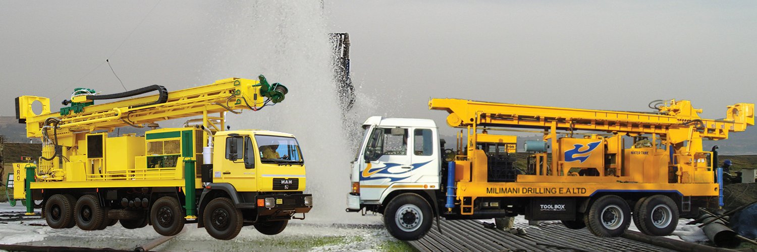
Scientific hydrogeological surveys, 2D geophysical resistivity mapping, aquifer identification, and statutory WRA/NEMA permitting for borehole projects across Kenya.
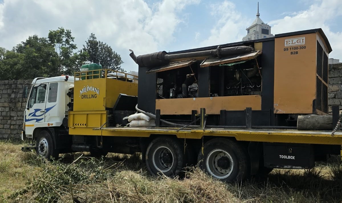
A professional hydrogeological survey is the most critical scientific foundation for any successful borehole project in Kenya. It maps underground aquifers, identifies optimal drilling depths, minimizes the risk of dry holes, and fulfills statutory Water Resources Authority (WRA) permit requirements.
Groundwater is not distributed evenly beneath the earth. In Kenya's diverse geologies—ranging from volcanic phonolites and Rift Valley basalts to hard crystalline basement granites and coastal coral limestones—drilling blindly without scientific investigation carries immense financial risk. A certified hydrogeological survey provides empirical geophysical data to pinpoint water-bearing fractures, assess expected yield, and design the correct well construction.
Before setting foot on site, the hydrogeologist analyzes national geological maps, satellite elevation models, regional aquifer records, and nearby borehole logs. This historical context reveals known aquifer depths, average yields, and potential mineralization challenges in your specific county or sub-county.
In the field, geophysicists deploy Vertical Electrical Sounding (VES) and 2D Electrical Resistivity Tomography (ERT). By passing controlled electrical currents into the ground and recording resistivity variations, the survey maps subsurface geological layers, weathering profiles, fault lines, and fracture zones where groundwater accumulates.
The hydrogeologist selects the recommended drilling coordinate while ensuring strict compliance with statutory buffer distances: minimum 100 metres from neighboring boreholes, and safe separation from septic soakaways, pit latrines, fuel stations, and high-voltage power lines to prevent contamination and operational hazards.
The findings are compiled into a comprehensive technical report signed by a registered hydrogeologist. This report specifies the recommended drilling location (GPS coordinates), estimated aquifer depths, expected yield range (m³/hr), anticipated geological strata, and recommended well casing diameter.
Under the Kenya Water Act 2016 and environmental regulations, drilling a borehole requires mandatory approvals before rig mobilization:
Attempting to drill without a hydrogeological survey frequently leads to dry holes, structural collapse in unstable clays, or premature abandonment. A survey represents less than 5% of your total project investment, yet it secures the viability of the remaining 95%. Milimani Drilling provides turnkey survey coordination and permit management across all 47 counties.